
Apparently today is World Oceans Day, in honour of which, I have spent a stupidly long time researching things online. I started with the innocent question “How far am I from the sea?” and then fell down the rabbit hole of “What’s the centre of England?”
The answer to the latter question is by no means clear cut: according to the Wikipedia page on centre points of the UK, depending on the calculation method used, and on how much of Great Britain or the UK is included, you can even find a centre that is in the middle of Morecombe Bay. That would be a centroid point, the calculation of which is described by Rob Andrews from the Ordnance Survey in a BBC article as: “If you imagine cutting out the whole of the UK with a giant pair of scissors and balancing it on a church spire, it’s the balancing point.”
The centroid calculation is a gravitational method and should include offshore islands, attached by “invisible rigid weightless wires”. I’m assuming it doesn’t include territories such as the Falklands and Gibraltar, although I do rather like the idea of a centre that moves according to the state of the Empire.
Even if we are clear about exactly which land areas to include, the calculation only takes into account the two dimensional shapes, not the topography. I can’t help but feel that if gravity is to be involved and the country is to be balanced on a church spire, an area of high ground would outweigh an area of low ground. It’s frequently been suggested that if you ironed out the mountains of Wales, you’d end up with an area bigger than England. This may not be true, but ironing out all the mountains in the British Isles would certainly move the centroid point.
And then there’s the geological question: should more weight be given to areas depending on the type of rock they’re made up of? I wonder how the stark grey landscapes of North Wales would counterbalance the granite mountains of Scotland. But then what would happen about the quarries and mines? If we quarry slate and move it somewhere else, what would be the effect on the overall equilibrium? Similarly, if we mine coal and then burn it, does the whole country end up with less heft?
One of the reasons for my interest in the whole issue is that I’m currently in the Midlands, not far from Meridan, the traditional centre of England, and even closer to the site of the Midland Oak another candidate for the title. My research suggests, though, that neither place is really a serious contender anymore, whatever they may claim and whatever people may have believed in the past.
I gather that the justification for Meriden’s claim is its distance from the sea, which takes me back to my original question and the surprising answer I found: I am currently less than 50 miles from the sea.
That answer only makes sense if you realise that the definition of “sea” is more fluid than you might expect. A point on the coast further upstream on the Severn Estuary than this next photo hardly counts as sea to me: I’d want to travel another 20 or more miles down the coast, beyond the Second Severn Crossing.
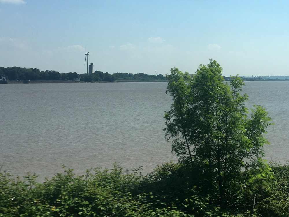
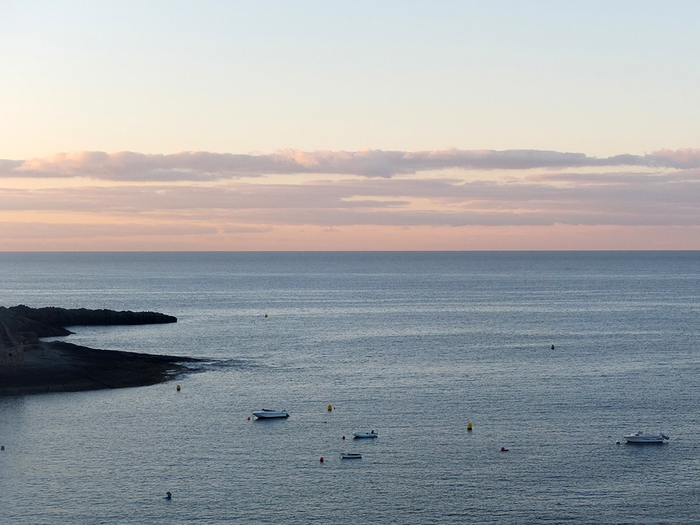
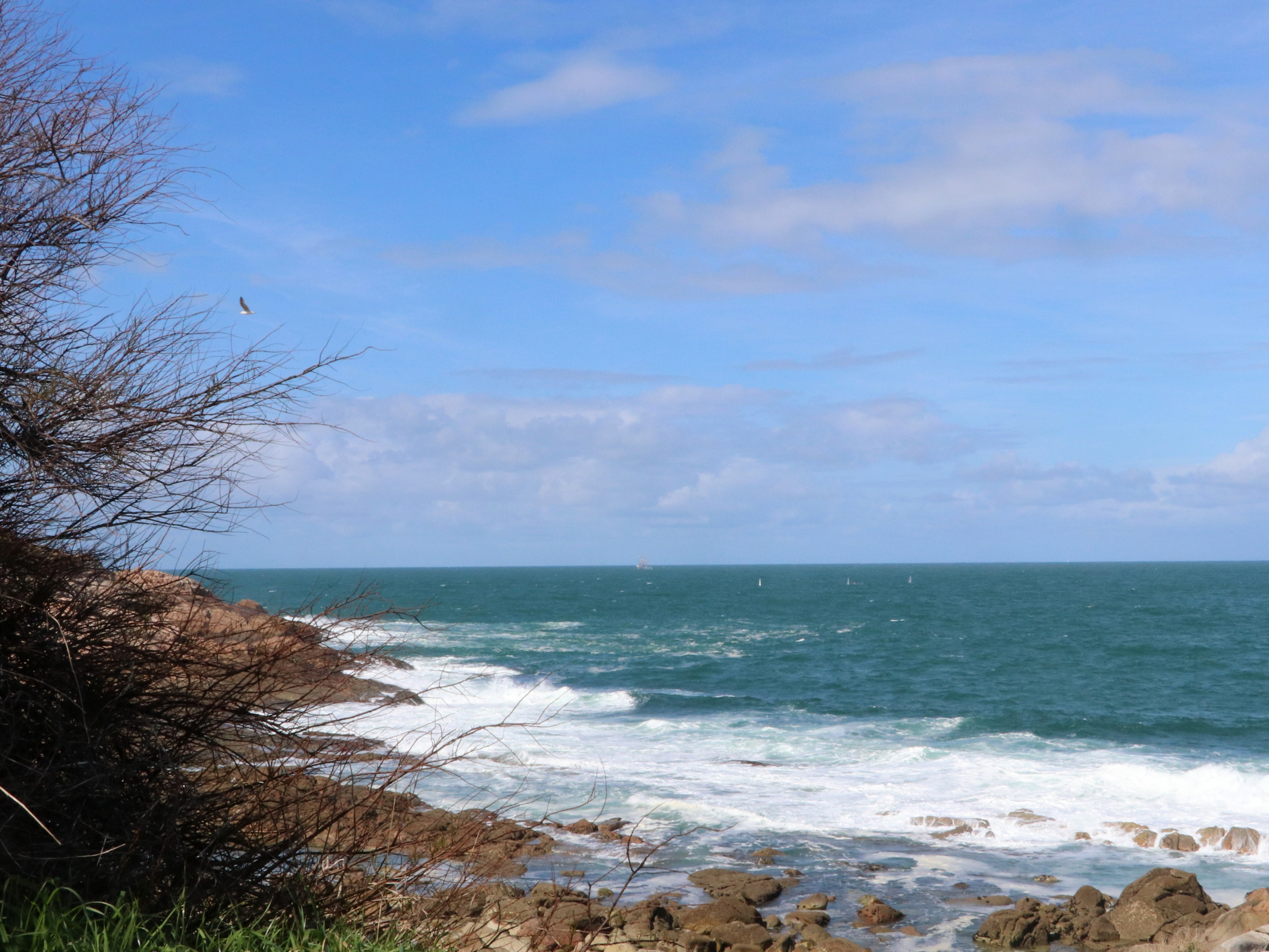
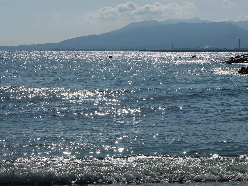
I suppose that rivers, seas and oceans must, by their very nature, have moving boundaries. I’m not sure any of the expanses of water in the photos here are actually oceans at all. And although this poem has some relevance, I know for a fact it was written overlooking the Mediterranean Sea.
Postcard from the beach
The weather is nice…
The sun is dropping
diamonds on the sea.
I squint against the glare
and see a storm
of shooting stars that fall
too fast to single one
and make a wish.
Yet this whole moment
is a wish for you.
If you’d like another, more thought-provoking, poem for #worldoceansday, I recommend watching this one by Johanna Mesch:
And if you’re one of those people who feel the need for a translation, you’ll find more information on the Signing Hands Across the Water site.
